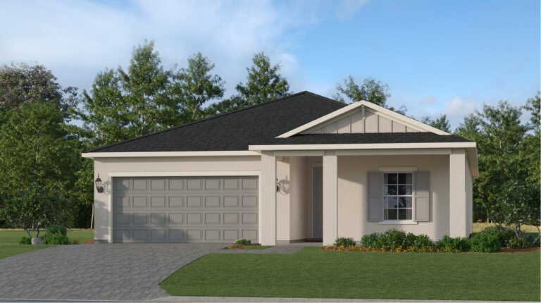
Turnleaf is located on the Burnt Store Road corridor in unincorporated Charlotte County, southwest of U.S. 41, and the commute is 8.1 road miles to downtown Punta Gorda, 10.2 miles to Punta Gorda Airport and 35.7 miles to RSW, all measured by road so you can plan from real figures.
The figures below are road distances and free-flow drive times from Turnleaf Boulevard, before live traffic or the school-run peak; between roughly January and April, Southwest Florida’s seasonal population adds time to every one of them, particularly on U.S. 41 and I-75. Call or text (239) 208-0906 and we will measure any route from the homesite you are considering.
| Destination | Road miles | Free-flow drive | Note |
|---|---|---|---|
| Downtown Punta Gorda | 8.1 | ~16 min | The nearest walkable town centre, waterfront and restaurants |
| I-75, Exit 161 (Jones Loop Road) | 8.6 | ~20 min | The practical interstate access point for Turnleaf |
| Punta Gorda Airport (PGD) | 10.2 | ~22 min | The local commercial airport — see the note below |
| I-75, Exit 158 (Tucker’s Grade) | 12.2 | ~28 min | Lower exit number, longer drive |
| Downtown Fort Myers | 22.4 | ~35 min | The nearest large-city centre |
| Englewood Beach / Manasota Key | 34.5 | ~59 min | Nearest drivable Gulf beach to the north |
| Southwest Florida International (RSW) | 35.7 | ~50 min | The full-service airport for the region |
| Fort Myers Beach | 36.8 | ~63 min | Nearest drivable Gulf beach to the south |
Which I-75 Exit to Use From Turnleaf
Exit 158 (Tucker’s Grade) has the lower number and looks closer on a map. By road it is the longer trip, at 12.2 miles and about 28 minutes, against 8.6 miles and about 20 minutes for Exit 161 at Jones Loop Road. Exit 161 is the practical interchange from Turnleaf in almost every case, including northbound trips.
The reason is the road network rather than the geometry: getting from the Burnt Store corridor to I-75 means working back east across a limited number of connections. It is a small thing, but it is the kind of small thing that saves you about sixteen minutes a day once you know it.
Turnleaf Airport and Island Distances Explained
Two destinations come up often when buyers ask about the Turnleaf location, and here are the measured figures for each.
1. Punta Gorda Airport: About 10 Miles, and Roughly 22 Minutes by Road
Punta Gorda Airport is about 10 road miles from Turnleaf: 10.2 road miles and roughly 22 minutes in free-flow traffic. Plan on the 22 minutes when you are catching an early flight, and enjoy the fact that a commercial airport is that close to begin with.
2. Cayo Costa, Captiva and Sanibel: Island Destinations Reached by Boat or Causeway
Cayo Costa, Captiva and Sanibel are the island destinations closest to Turnleaf. Cayo Costa is a Florida State Park on a barrier island, and per Florida State Parks it is reached by boat or kayak. There is no bridge and no road, so it is a boat trip rather than a drive — and a very good one.
Sanibel and Captiva are reachable by road, via Fort Myers and the Sanibel Causeway. We will measure that route for you on request; for scale, the drive to Fort Myers Beach alone is 36.8 miles and about 63 minutes, and the Sanibel route runs further south and west before it turns back out to the islands.
Turnleaf is an inland community, with the Gulf about an hour away. The nearest drivable Gulf beach is roughly 35 miles and about an hour, north to Englewood Beach or south to Fort Myers Beach. That is a normal Southwest Florida arrangement — a day out rather than an evening walk. What the location gives you every day is the tax position, the price per square foot and the corridor, with the islands there for the weekend.
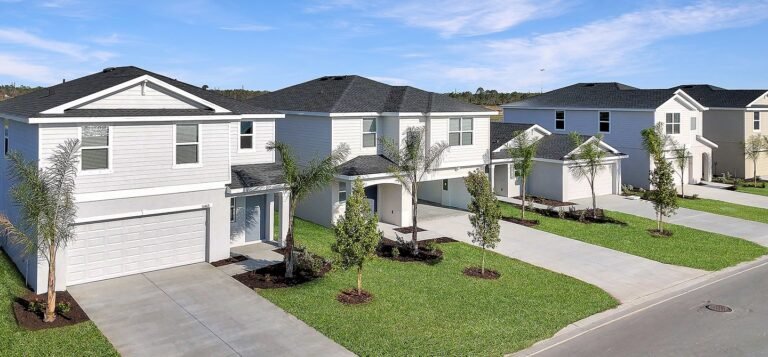
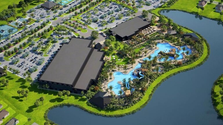
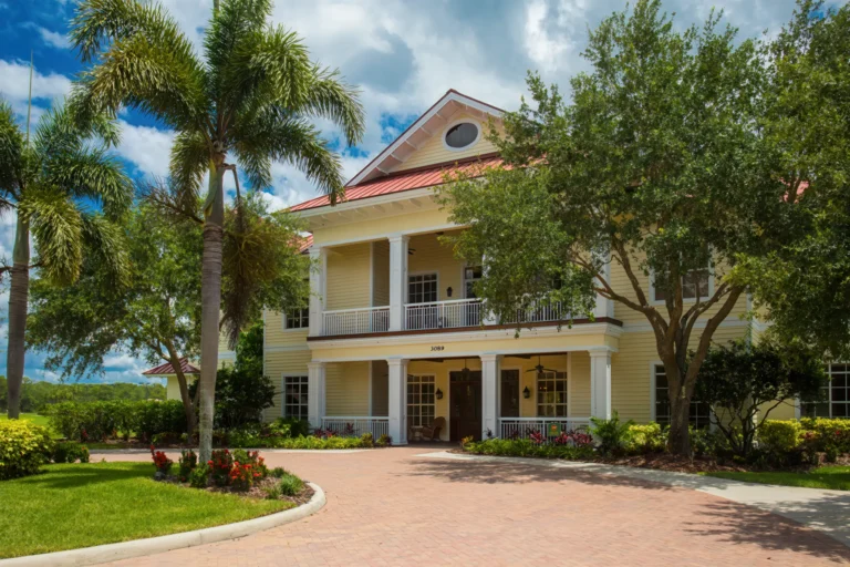
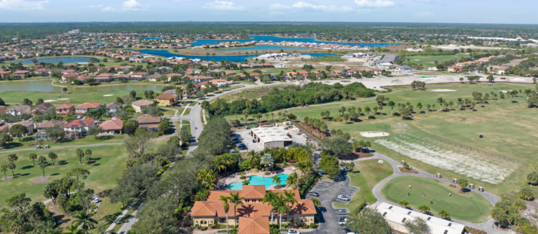
Turnleaf Streetscape, Amenities and a Finished Home
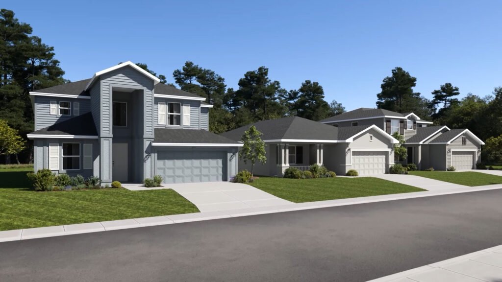
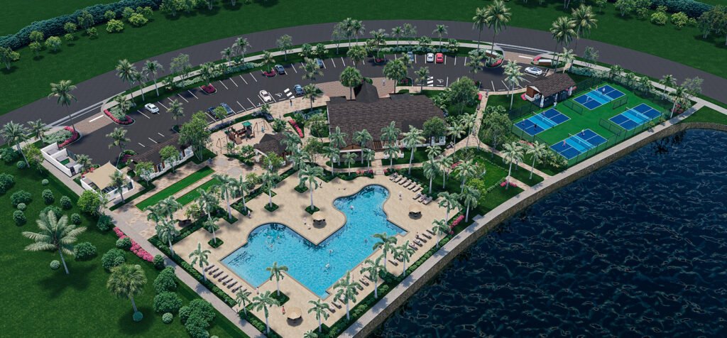
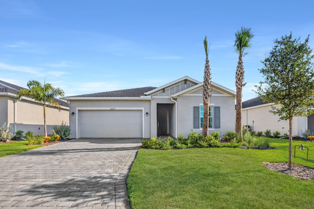
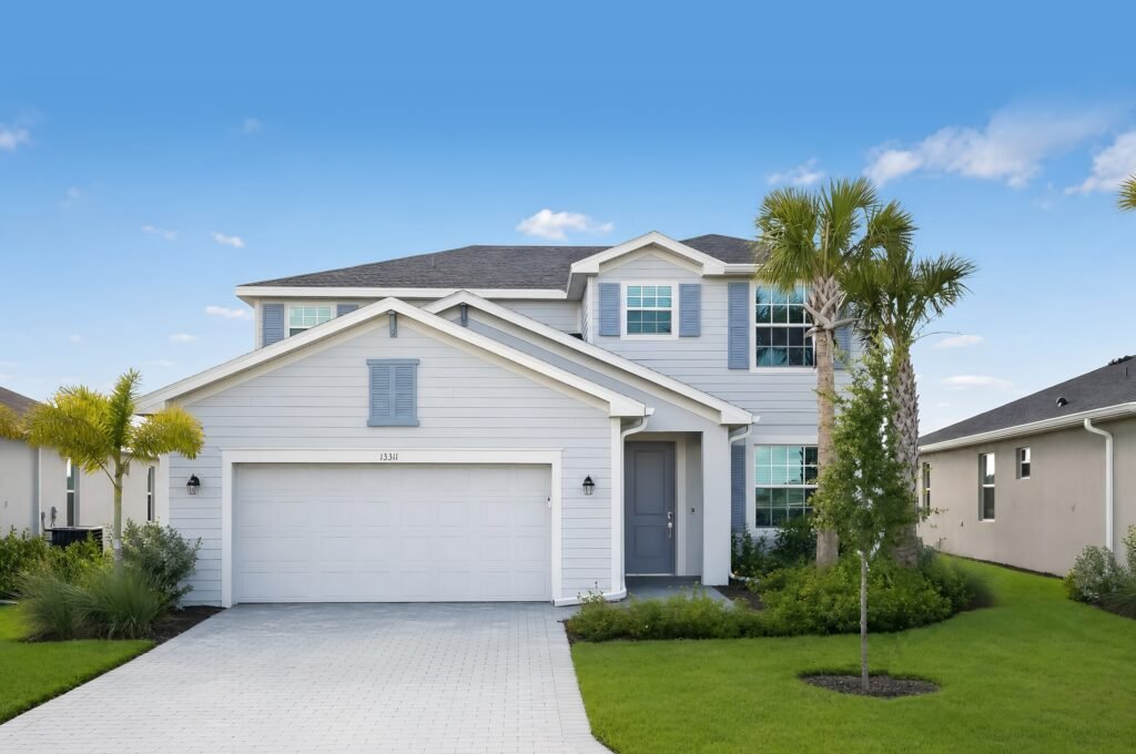
What the Turnleaf Location Gives You
The location makes a strong case for itself.
- Downtown Punta Gorda in about 16 minutes. A walkable historic town centre with a waterfront, restaurants and a farmers’ market is closer than most new-construction corridors in the region can claim.
- Two airports. PGD at about 22 minutes for regional flying, RSW at about 50 minutes for everything else. Few Florida communities have a small airport that close and a major one within an hour.
- Fort Myers in about 35 minutes. That puts a metropolitan job market inside a normal commute.
- Outside the city limits. The location has a tax consequence, not just a lifestyle one: as unincorporated Charlotte County, the City of Punta Gorda’s 3.8686 mills does not apply. What that saves is set out here.
Turnleaf Commute Routes We Measure for Your Homesite
Drive times to the nearest supermarket, hospital, urgent care, pharmacy or school depend on where your homesite sits within 426 acres. The Burnt Store corridor is actively developing and new retail is arriving. Tell us which routes matter to you and we will measure them from your specific homesite, at the time of day you would be driving them.
Turnleaf Location and Commute FAQ
How far is Turnleaf from downtown Punta Gorda?
8.1 road miles, about 16 minutes free-flow, measured from a Turnleaf Boulevard address. Add time in season, when U.S. 41 carries considerably more traffic.
Is Turnleaf 10 minutes from Punta Gorda Airport?
PGD is 10.2 road miles and roughly 22 minutes from Turnleaf in free-flow traffic. Plan a 22-minute drive, and add a little in season.
How long does it take to get to RSW from Turnleaf?
Southwest Florida International is 35.7 road miles and about 50 minutes free-flow. Allow more in season and at peak, particularly on I-75 south.
Which I-75 exit should I use from Turnleaf?
Exit 161 at Jones Loop Road: 8.6 miles and about 20 minutes. Exit 158 at Tucker’s Grade has a lower number and looks nearer on a map, but by road it is 12.2 miles and about 28 minutes because of how the corridor connects back east.
How far is the nearest beach from Turnleaf?
About 35 miles and roughly an hour in either direction: Englewood Beach on Manasota Key at 34.5 miles and about 59 minutes to the north, or Fort Myers Beach at 36.8 miles and about 63 minutes to the south. Turnleaf is an inland community; the Gulf is a day trip rather than a short drive.
Are Cayo Costa, Captiva and Sanibel close to Turnleaf?
They are part of the region’s appeal, and each is a trip rather than a short drive. Cayo Costa is a Florida State Park reachable only by boat or kayak — there is no bridge and no road, so it is a boating day out. Sanibel and Captiva are reachable by road through Fort Myers and over the Sanibel Causeway, beyond the 63 minutes to Fort Myers Beach. We can measure the Sanibel route for you on request.
Is Turnleaf in Punta Gorda?
It has a Punta Gorda mailing address but it is in unincorporated Charlotte County, outside the city limits. That is why the City of Punta Gorda’s 3.8686 mills does not appear on the tax bill, leaving a 2025 total of 15.0855 mills for this tax district. It also means county rather than city services and code enforcement apply.
Related Pages
- Turnleaf community guide — the full overview.
- Turnleaf schools — useful alongside drive times if you are planning a school run.
Ask Us Anything About Turnleaf
Ask about a Lennar floor plan, a homesite, current pricing and incentives, or anything on this page. We represent buyers at Turnleaf and will get you the answer.